
General Description
| UN/LOCODE: | BGBOJ |
| Coordinates: | 42°28′ N / 27°28’ E |
| B.A. Nautical Chart No: | 2399 & 2283 (approaches) |
| Admiralty Sailing Directions: | NP24 |
| Time zone: | UTC + 2 hrs |
| Port Security Level: | 1 |
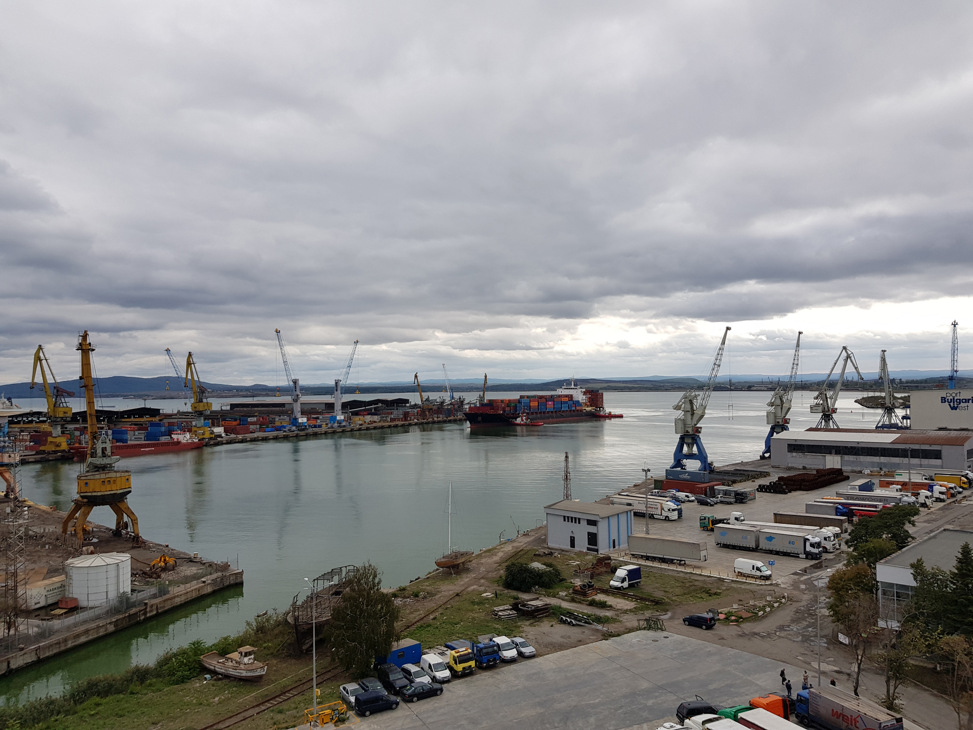
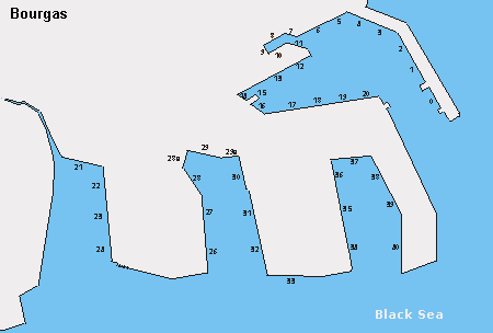
The outer harbor is entered via a Traffic Separation Scheme which leads West from the traffic roundabout, centered on 42°29’N / 027°42’E. The port area is divided into outer and inner harbors. The boundary between the two harbors is the line joining Nos Poros and Nos Bourgas.
Anchorage Areas
Five anchorage areas have been established between 0.5nm and 4.5nm ENE of Nos Poros as follows (numbered from W to E):
Area No 1 – vessels with LOA up to 150 m:
- 42°28’10 N / 27°29’10 E
- 42°27’80 N / 27°29’10 E
- 42°27’50 N / 27°29’70 E
- 42°27’30 N / 27°29’70 E
- 42°27’30 N / 27°30’50 E
- 42°28’10 N / 27°30’50 E
Area No 2 – tankers with displacement up to 5000 MT:
- 42°28’10 N / 27°30’60 E
- 42°27’50 N / 27°30’60 E
- 42°27’50 N / 27°31’20 E
- 42°28’10 N / 27°31’20 E
Area No 3 – vessels with LOA over 150 m:
- 42°30’00 N / 27°32’00 E
- 42°29’40 N / 27°32’00 E
- 42°30’00 N / 27°33’40 E
- 42°29’40 N / 27°33’40 E
Area No 4 – tankers with displacement over 5000 MT:
- 42°30’00 N / 27°33’40 E
- 42°29’40 N / 27°33’40 E
- 42°29’40 N / 27°34’80 E
- 42°30’00 N / 27°34’80 E
Area No 5 – vessels under quarantine and carrying dangerous cargo:
- 42°28’20 N / 27°32’20 E
- 42°28’20 N / 27°32’60 E
- 42°27’80 N / 27°32’60 E
- 42°27’70 N / 27°32’20 E
Terminals
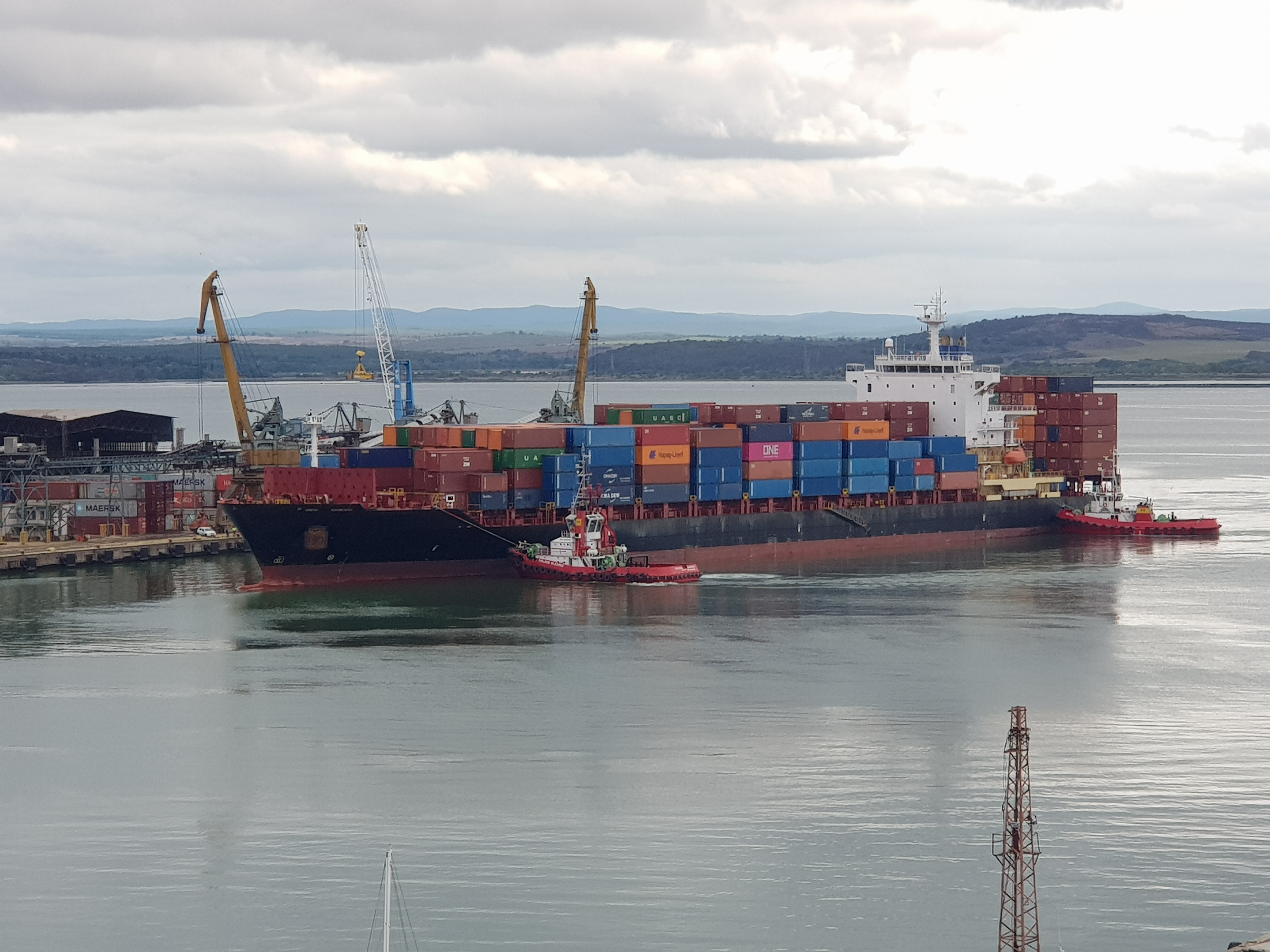
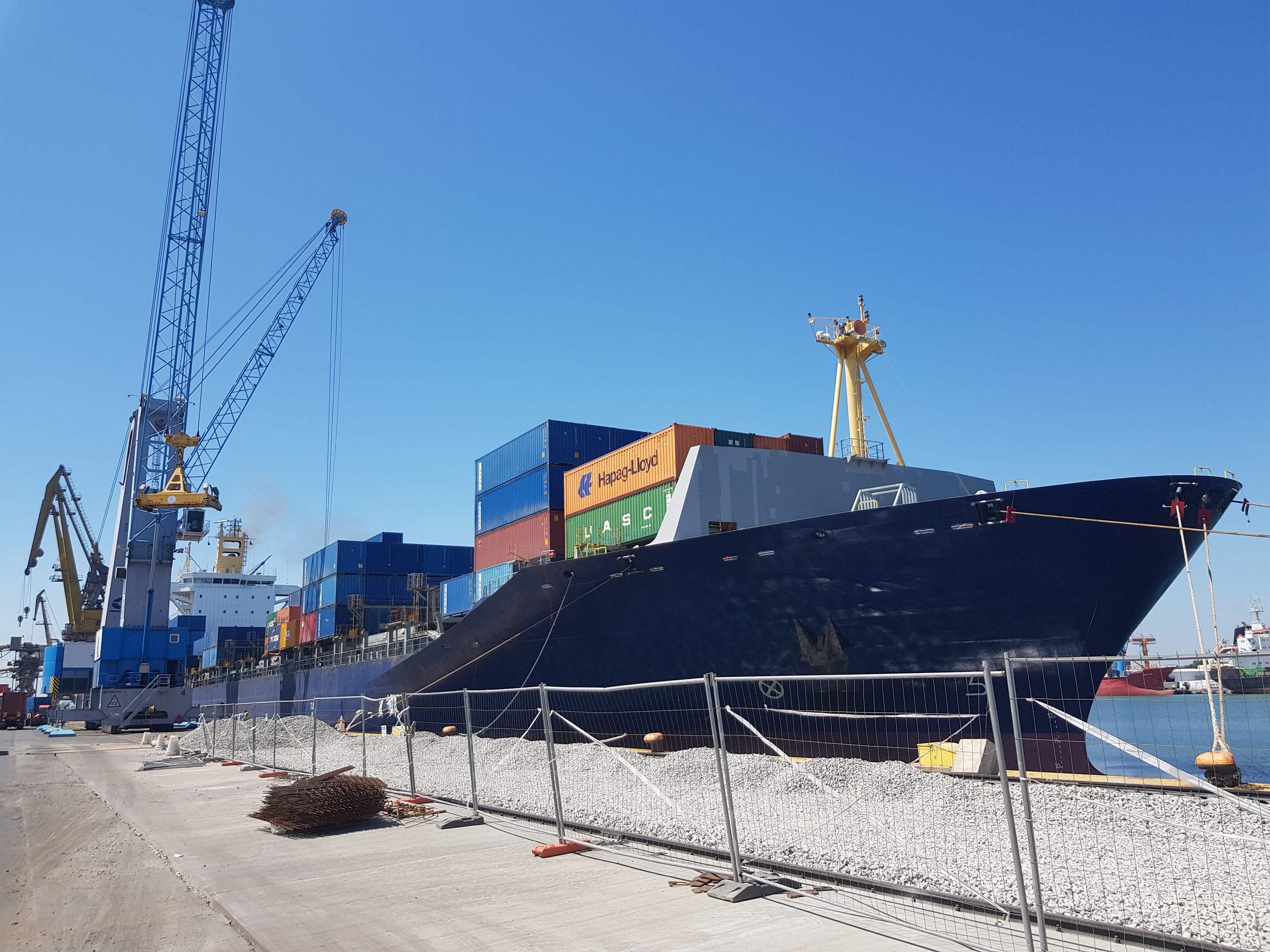
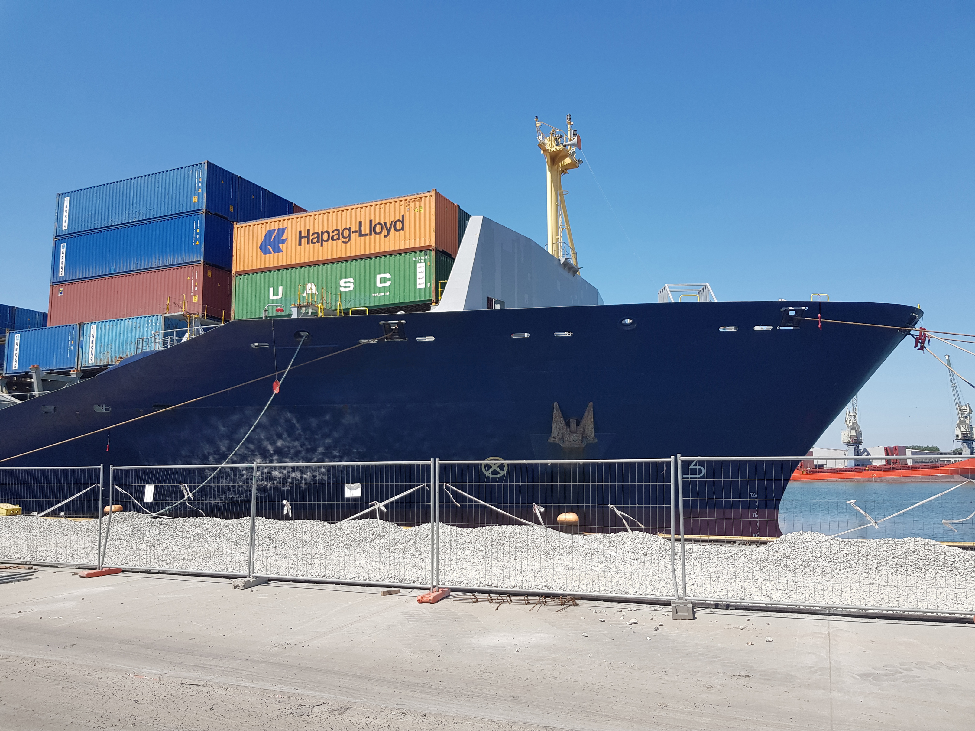
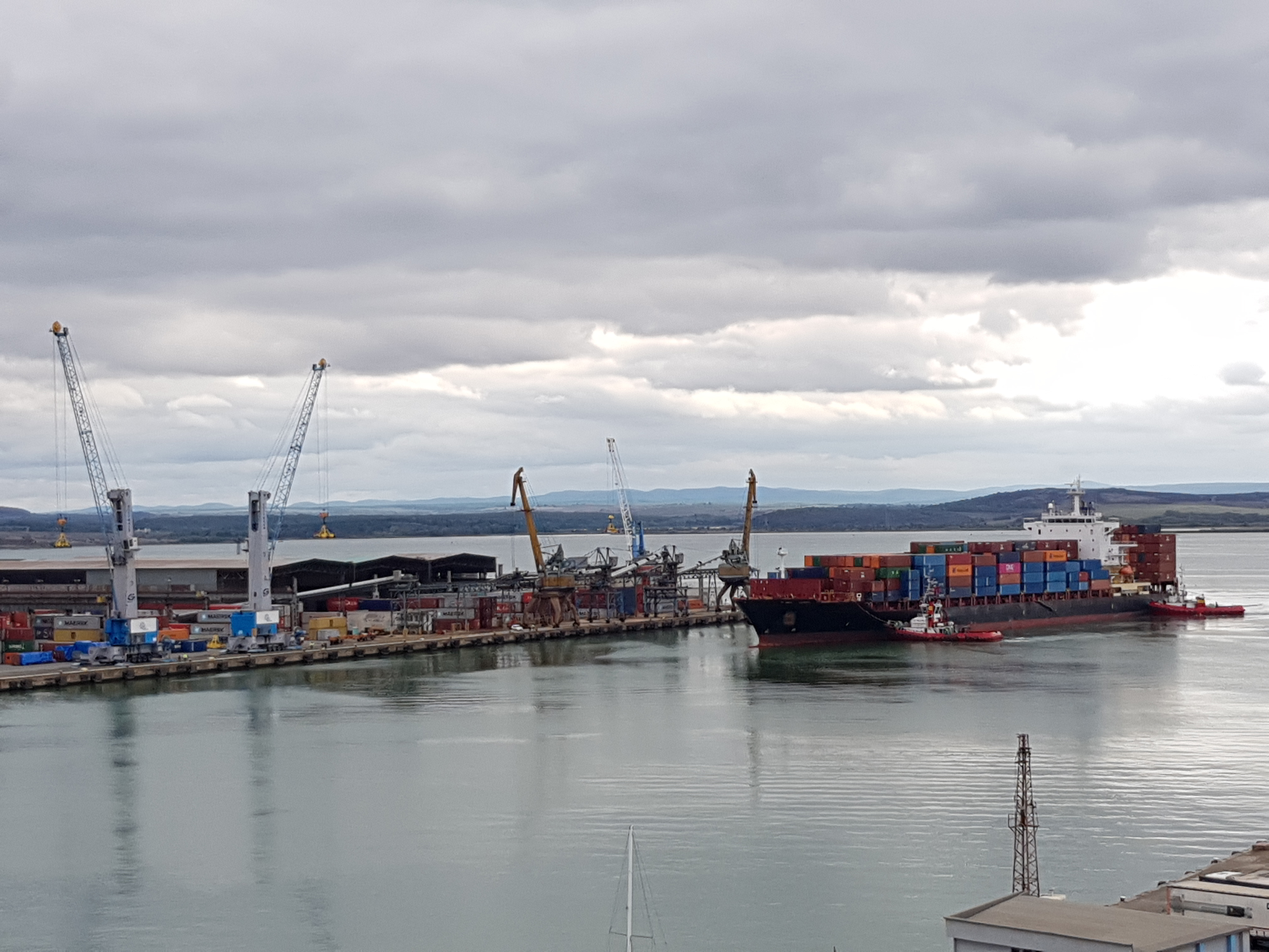
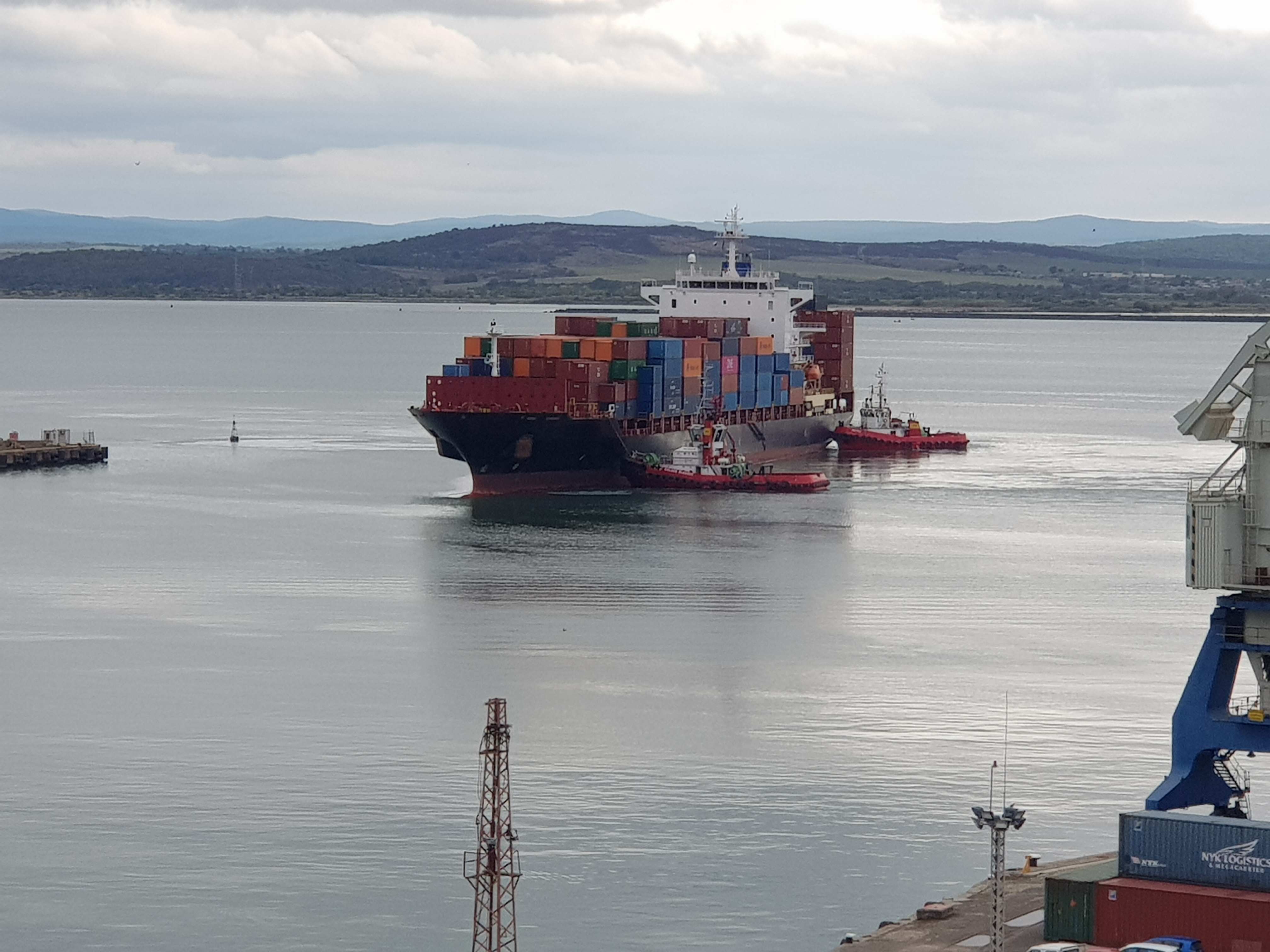
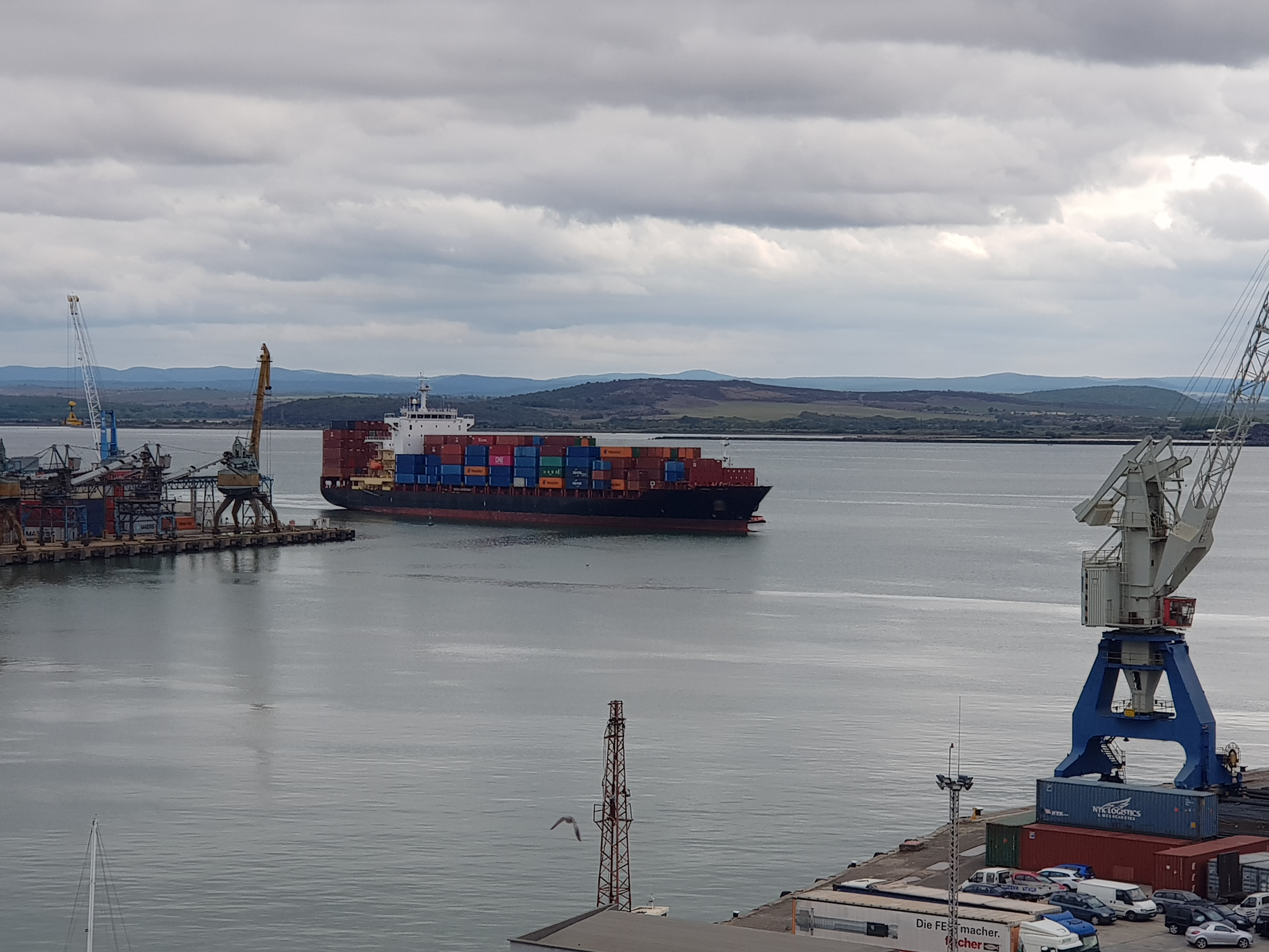
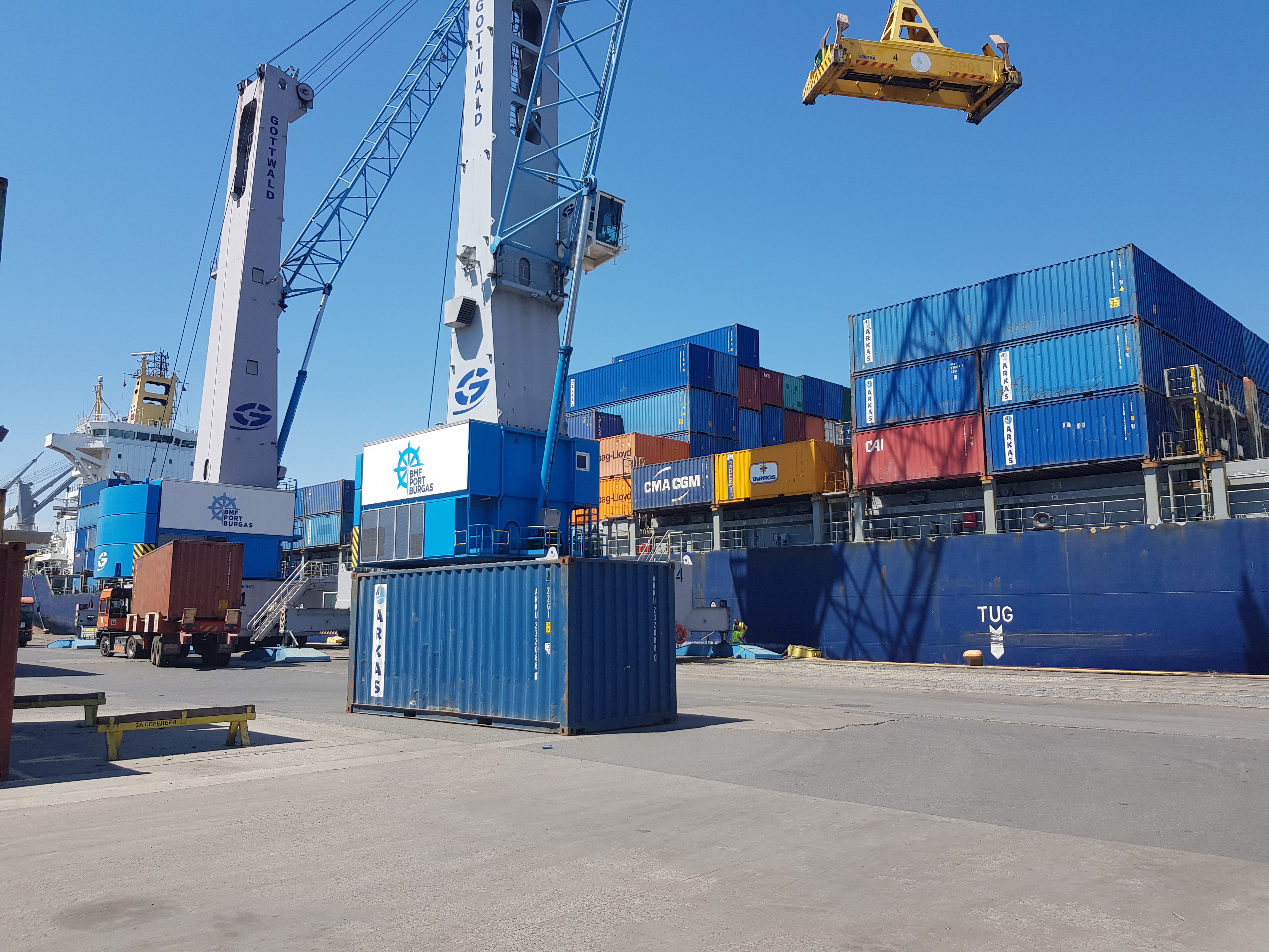
- BMF Port Bourgas, a private port under concession of Navigation Maritime Bulgare AD company as from 2011. The Port consists of the ex West Port Bourgas and Terminal 2A Bourgas. The port handles bulk and general cargo, containers, ro-ro cargo and liquid chemical cargoes via 10 berths with lengths up to 280 m and drafts from 5 m up to 14.6 m.
- Port of Bourgas EAD (ex “East Port Bourgas”), which controls a Passenger Terminal at the very entrance of the Port with 2 berths accepting vessels up to max LOA 320 m and max draft 10 m, as well as a marina for small and medium size yachts up to 20 m. It also controls the new “Nessebar Passenger Terminal”, as from October 2014, offering services to cruise/pax vessels with max LOA 160 meters and max draft 7 meters.
- Port Bulgaria West (ex Fishery Port) with 3 shallow drafted berths accepting vessels with draft ranging 6 – 8.5 m with fully integrated intermodal transport system offering shore cranes, storage facilities (open and closed) and railway and road link to every berth. Cargoes handled: Phosphates, Olive Oil, Steel products.
- KRZ Port Bourgas offering 2 berths accepting vessels with max LOA 220 m and max draft 8.5 m. Handling cargoes of grains and steel products.
- Oil Terminal Bourgas accepts tankers as follows:
– Pier No 1 max draft 9.6 m and max LOA 180 m with 2 x 8 inch shore manifold for oil products
– Pier No 2 max draft 12 m and max LOA 260 m with 1 x 16 inch shore manifold for oil products
– Pier No 3 max draft 6.8 m with 1 x 4 inch shore manifold
Cargoes handled at the Port: Crude Oil, Gasoline, Gasoil/Diesel Oil, Naphtha.
- Bourgas Shipyard offering dry docking services. There is one floating dock accepting vessels with lifting capacity 4500 MT, max LOA 160 m, max beam 23 m and max draft 5.10 m. There are also 2 new-building berths 400 x 30 m and 250 x 36 m equipped with 16 t cranes.
Tide
There are no strong currents and tides which can effect navigation.
Maps
Photos